
Community
The second meeting about the lake: drought, the saddle dike, and the ground that never worried
On Thursday, October 8, 2026, the U.S. Army Corps of Engineers holds its second public meeting on Lake Hartwell's levels, this one by video, from 6 to 7:30 in the evening. The meeting is about the drought and about what the new full-lake target will be once the basin finally receives enough rain to end it. The club from the high ground at 257 Methodist Park Lane is that the family has been reading this water since long before there was a meeting to attend. The lake is a headline this fall, but the land never worried.
The reading going into the meeting
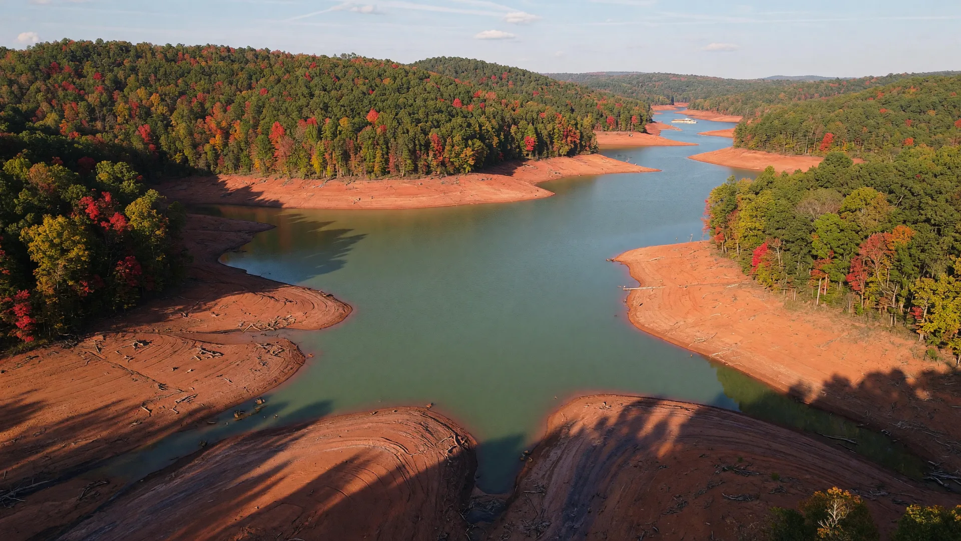
In the days leading into the October 8 meeting, the reservoir has been reading near 649 feet, roughly eleven feet below the normal full pool of 660 and nearly seven below the temporary operating target near 656. The basin sits in Level 2 drought, a designation that begins when the lake drops to 654 feet, and it has been running about eight feet below its normal guide curve for the date. Those are the numbers the Corps will walk through this evening, plainly and with charts, because a lake held this low is the kind of news that people who live on the water actually use.
The agenda is not only the drought. It is also the question residents have been asking since summer: once the rain returns, what will the new full-pool target be? The Corps has moved the year-round guide curve down four feet, setting the new full-pool target at 656 instead of 660, and during heavy rainfall periods it will hold the lake below a maximum elevation of 662. That is the operating reality while the long-term fix is designed, and the October 8 meeting exists so the basin can hear it together, with time for questions.
The reason for the new rulebook
The lower target is not a supply decision. It is an engineering one. Late in August the Corps announced it will maintain the lake-level restrictions until a long-term engineering solution is designed and built to address water seeping through and under the earthen saddle dike at the Clemson Lower Diversion Dam, the structure protecting Clemson University. Engineers detected the seepage during routine inspections, they have said there is no immediate danger to the public, and the repair itself is expected to take years, with estimates in the range of five to ten before the permanent fix is complete. Until then the lake lives by the temporary guide curve, and the October meeting is part of how the Corps keeps the basin informed through a process that long.
For boaters, marinas, and lakefront owners across the Georgia and South Carolina shores, that is a meaningful change to the rhythm of the water. Launch ramps sit higher above the surface, coves run shallower, and the shoreline you grew up knowing looks different when the pool drops. It is also temporary, in the way infrastructure time is temporary: not quick, but built to end with a permanent answer. The meetings, the webinars, and the weekly readings are how a reservoir community lives through a stretch like this, by paying attention together.
Why the high ground never worried
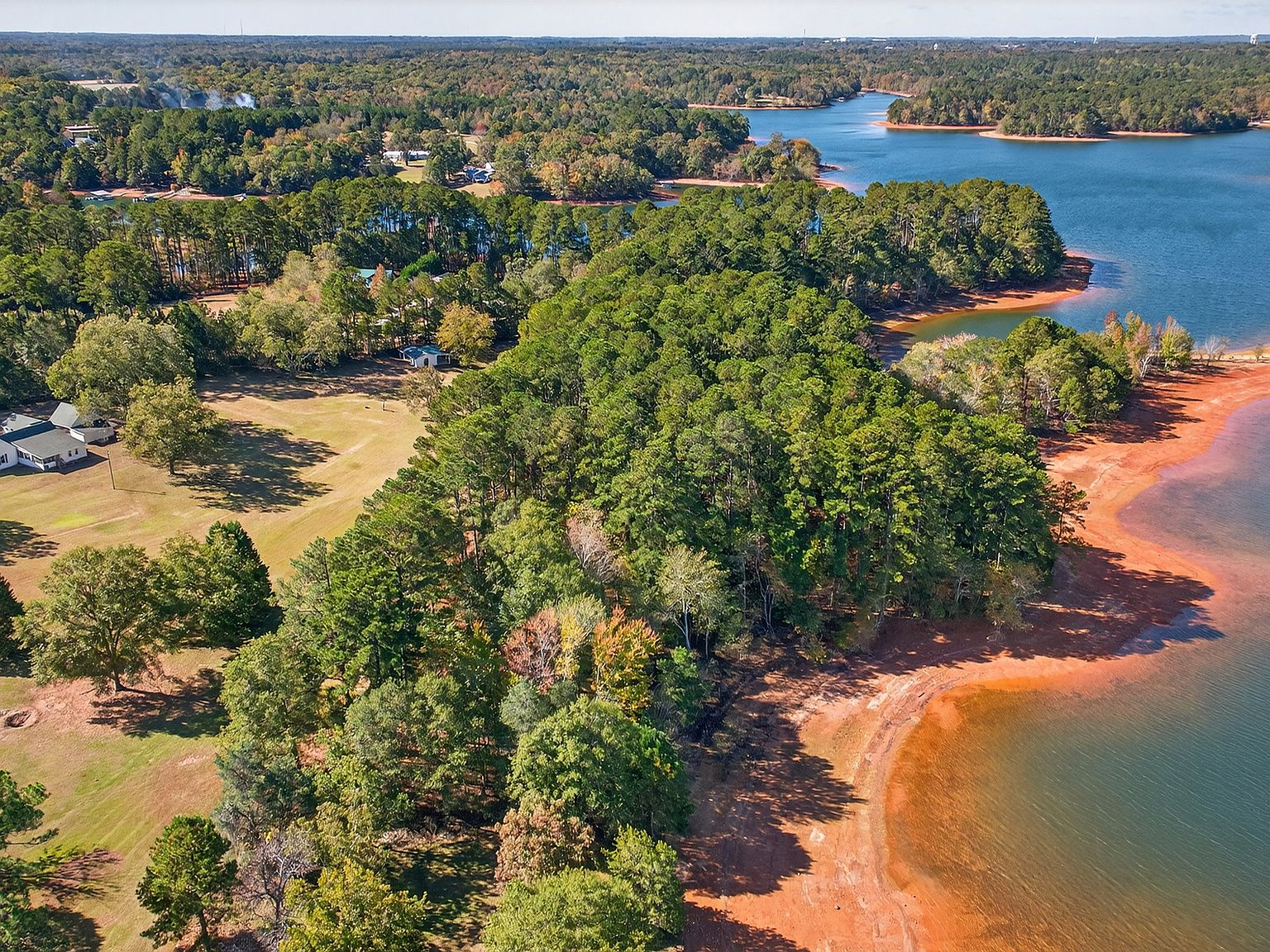
The family that built the home at 257 Methodist Park Lane in 1873 chose this land a full century before the newest public meeting, for a reason that has nothing to do with dams or waterfalls: they chose flat, high, dry ground above the river. The same choice kept the farmhouse safe when the reservoir filled in the 1960s, and it keeps the estate comfortable in every season since, whether the lake is at 660, at 656, or reading near 649 as it does this October. The house sits on 4.546 acres above the waterline. The lawn, the pecan trees, the covered porch, and the lakeside pavilion have never once been threatened by the pool level, and the family has watched every fluctuation since the water arrived without ever moving a piece of furniture.
That is the quiet lesson of the second meeting: a lake level is a headline, but the value of a lakefront property has never been only the level. It is the elevation chosen years ago, the access that stays useful whether the water is high or low, and the view that has been there since before the lake existed. Elrod Ferry Landing and Methodist Park sit minutes from the estate, so launch ramps and public shoreline are close no matter how the pool reads. On its own high ground, with the water at the foot of the lawn, the property is one of the last remaining large-acreage parcels on Lake Hartwell's Georgia Corps of Engineers shoreline, and it is exactly as usable today as it was in better water years.
Paying attention together
There is something quietly hopeful about a community that schedules a meeting to pay attention to its water. The September 23 gathering filled a room; the October 8 one moves to a screen so more people can join from home. Fifteen years from now the saddle dike will be fixed and the guide curve will be written differently, but the habit will remain: people around this lake have always watched the water, in drought and in flood, before the dam and after. The family at 257 Methodist Park Lane has kept that watch from one spot since 1873, and the estate is available now for the next family to take up the same post. The level will change with the seasons. The ground that was chosen well will not.