
Heritage
The fog in the bottomlands: what vanished when Lake Hartwell rose
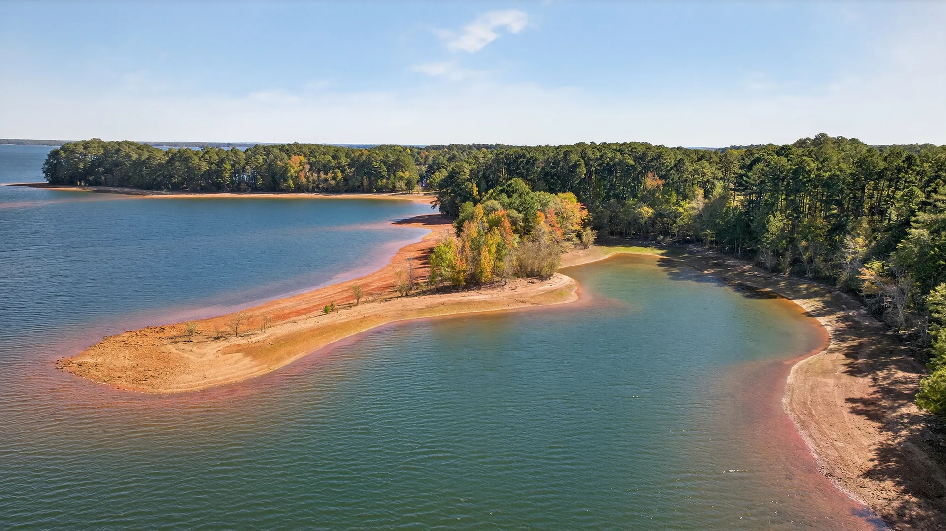
Stand on the high flat ground at 257 Methodist Park Lane and it is easy to read what you see as a lake story, 56,000 acres of water, a boating season, a shoreline. But the people who lived here before the 1960s would have read the same ground differently. To them, the view was a valley, and in the mornings the fog came up out of the bottomlands like it had every day for as long as anyone remembered.
A valley that farmed itself threadbare
Before the dam, the Savannah and Tugaloo river valleys around Hartwell were quiet rural country. Cotton was the crop that shaped nearly everything, and by the middle of the twentieth century a century and a half of intensive cotton farming had worn much of the landscape thin, rolling red hills carved into gullies, fields exhausted, some farms long abandoned. The bottomlands, though, stayed fertile, and it was there, along the watercourses, that families grew what they lived on.
The people who lived in those valleys did not think of themselves as living at the edge of a future lake. They thought in seasons, in plantings and harvests, in the reliable weather of a river valley. They sat on front porches in the evening, worked the fields by day, and knew their neighbors because their fences and their fates were close enough to share.
The fog
Of all the details that old accounts of the region preserve, the fog is the one that comes back most often. In the low bottomlands along the Savannah, fog would settle in the mornings, lying white over the fields and the river until the sun burned it off. It is a sensory memory that belongs entirely to the time before the water, because a reservoir does not fog the way a river bottom did.
There is something fitting about that. The lake erased a landscape that was already half-hidden by its own morning mist. A family on the high ground at Methodist Park could have watched that fog below them for years, seen the valley obscured and revealed and obscured again, and then, in the early 1960s, seen the fog replaced by a slow rising of water that never burned off at all.
Towns that had already begun to fade
Some of what went under was not thriving farmland but the remains of older settlements. The Cherokee town of Tugaloo, with roots reaching back centuries, now lies beneath the water. So too does the site of an early river port, a town founded in 1801 at the confluence of the Seneca and Tugaloo Rivers, the very place where the Savannah River begins, that had already declined by the 1850s after floods destroyed its mills.
History, then, had a way of layering itself in these valleys. Each generation built on what the last one left, and each flood or change rearranged it. The lake would be the largest rearrangement of all, but it was not the first time the water had rewritten this land. It was simply the most permanent.
When the Corps came
The Flood Control Act of 1950 authorized the project, and the U.S. Army Corps of Engineers began building Hartwell Dam in 1955. The lake filled to its full pool of 660 feet in 1962. In between, an entire rural landscape was cleared, surveyed, and inundated. Families were offered payment for their estates and belongings and then asked to leave land their ancestors had held. Homes and barns were taken down or flooded out. Roads and bridges were relocated. Even the dead were moved, with whole cemeteries, including the Harrisburg burial ground, dug up and reinterred on higher ground elsewhere in the county.
It was a painful, contested process, and the memory of it has never fully faded from the communities along both shores. The people who were displaced carry a version of this story that is not about recreation or shoreline. It is about losing the only land their families had known.
The high ground that stayed
Not every property went under. The Corps acquired the land needed for the reservoir and its immediate surroundings, but parcels on higher ground, above the full-pool line, survived. 257 Methodist Park Lane is one of them, and it survived for a reason that had nothing to do with a lake that did not yet exist.
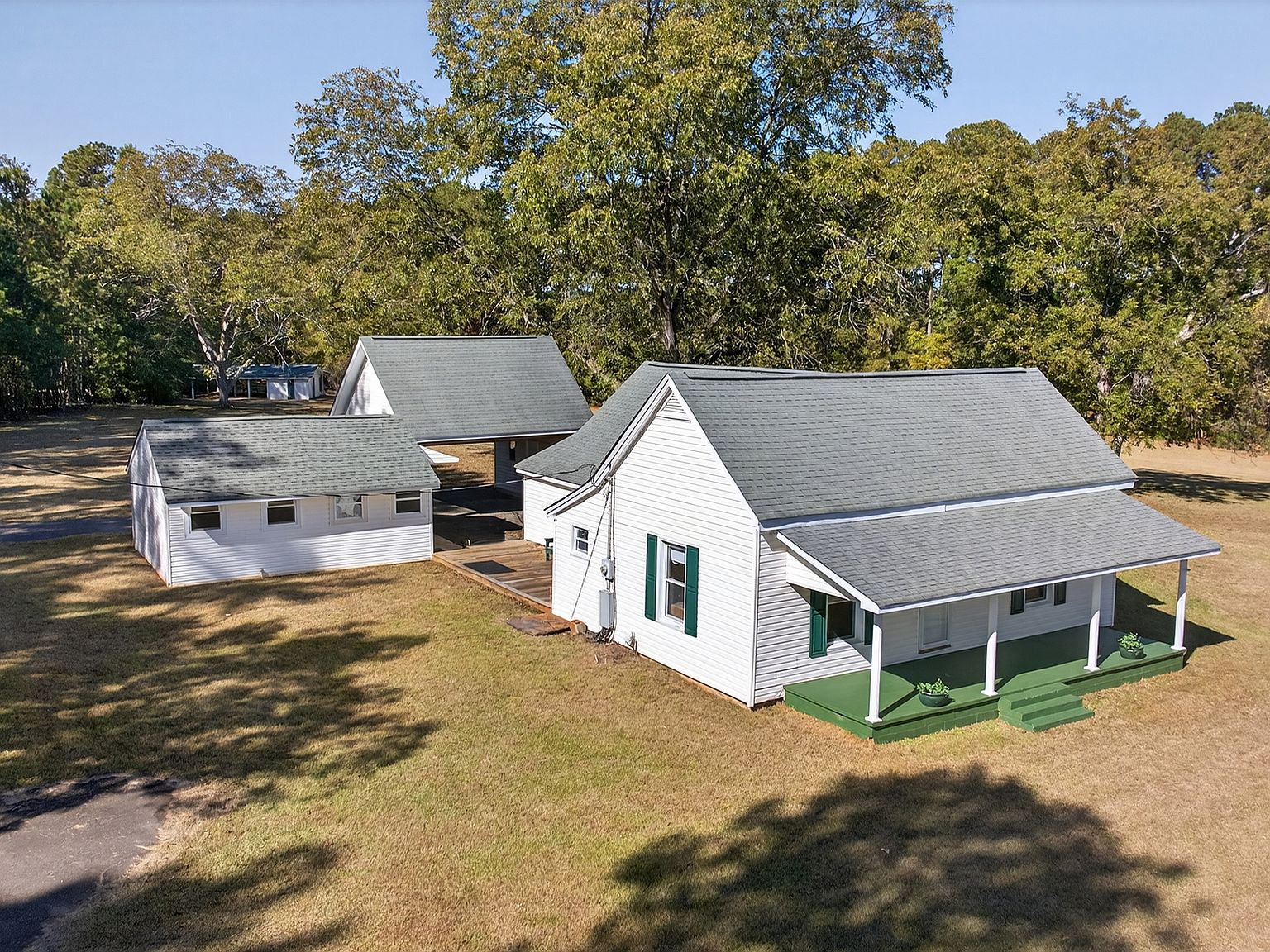
The home dates to 1873, and the land has been held by one family since the 1800s. Those early generations chose this spot for its flat, elevated ground, its mature pecan trees, its access to water and fertile soil. When the engineers drew their lines and the water began to rise, this property sat above it. The family watched the valley fill from the high ground, and they kept their land.
Today the same flat, private acres are a lakefront estate, one of the last large-acreage parcels on Lake Hartwell's Georgia Corps of Engineers shoreline. The fog in the bottomlands is gone, replaced by open water and a cove where a boat can be tied up in privacy. But the reason the property exists at all, the elevation and the long, stubborn choice to stay, is the part of the story no one can see from the water. It is the part we think about most.