
Heritage
From dirt road to dock access: what 150 years of transportation tells us about the land at Methodist Park Lane
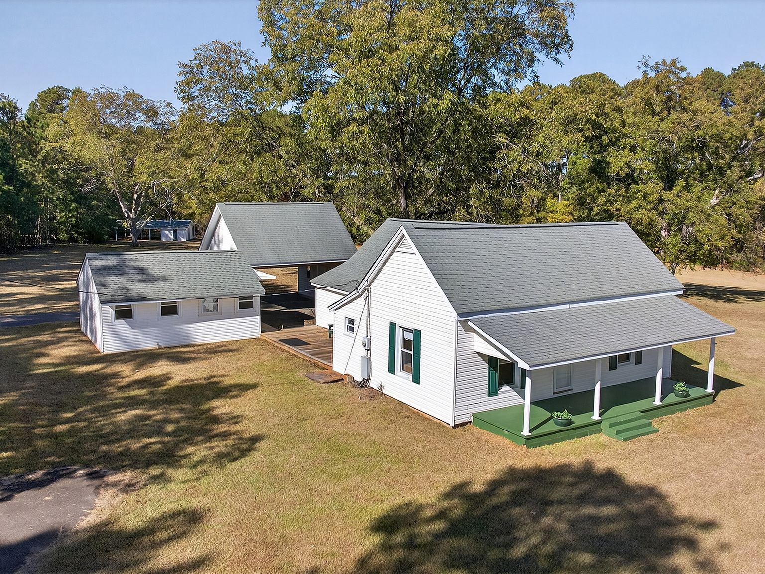
Before the lake, before the paved roads, before the dock and the boat ramp and the weekend runs to the grocery store, the family at 257 Methodist Park Lane lived in a world defined by dirt. Dirt roads that turned to impassable red-clay mud in every spring rain. Dirt paths worn by wagon wheels heading to the river crossing. Dirt lanes that separated the known world of the homestead from the larger world of Hartwell, the county seat that had been there since 1854.
The roads that connected the valley
In the 1870s, when the first family built this home, Hart County was a landscape of unimproved roads threading through the rolling foothills of northeast Georgia. The Savannah River meandered through the valley, and the farms that dotted its banks were connected to one another and to the town of Hartwell by a network of paths that had been worn into the earth over generations. Dirt roads crisscrossed the hills, connecting farming communities like Sardis and Alford to places across the river in South Carolina and beyond via bridges like Alford's Steel Bridge.
For the families who lived at Methodist Park Lane, the nearest bridge over the Savannah River was likely Alford's crossing — a steel-framed structure that carried wagons, livestock, and eventually automobiles between Georgia and South Carolina. That bridge, like so many others in the valley, was submerged when Lake Hartwell was created in the early 1960s. For a family that had crossed that bridge to visit relatives, sell goods, or attend church on the other side of the river, the loss was both practical and deeply personal.
The distance to town, measured in hours
Today, the drive from 257 Methodist Park Lane to downtown Hartwell takes approximately ten minutes. The road is paved, the route is direct, and the trip can be made in any weather, at any hour, without a second thought. In the 1870s, the same trip took the better part of a morning.
A wagon loaded with produce for the Hartwell market would leave the farm before dawn, travel the dirt roads at the pace of a mule, and arrive in town when the merchants were already open for business. The trip was weather-dependent. Rain turned the red clay roads into a slippery, wheel-sucking mire that could delay a journey by hours or strand a traveler entirely. Dry weather brought its own challenges — dust that coated every surface, ruts that hardened into axle-breaking ridges, and the relentless Georgia sun that bore down on an open wagon with no shade.
The family planned their trips to town with the same care they gave to planting and harvest. Every journey had a purpose — selling eggs, buying nails, trading for supplies that could not be grown or made on the farm. The list was checked twice. The mules were fed and watered before departure. And the hourglass of daylight dictated the return. In an era before headlights and paved roads, being caught on the road after dark was not an inconvenience but a genuine danger.
The river as a highway
Before the lake covered the valley, the Savannah River was more than a boundary and more than a water source. It was a transportation corridor. Families used the river to move goods downstream, to fish, to water livestock, and to reach neighbors whose property backed onto the banks. The river was the highway that never washed out, the route that connected the valley in ways that dirt roads could not.
Ferries operated at several points along the river, including at what is now Elrod Ferry Landing — a name that survives today even though the ferry itself is long gone. These crossings were the vital links between Georgia and South Carolina, connecting communities on both sides of the river for trade, family, and worship. When the lake rose, the ferries and the bridges vanished, and the communities on either side of the water became separated by something far wider than a river.
For the family at Methodist Park Lane, the ferry was part of their mental map of the landscape. They knew the ferry schedule, the ferryman, and the cost of crossing with a wagon versus crossing on foot. They knew the water levels that made crossing possible and the flood stages that made it dangerous. This knowledge was passed down alongside the knowledge of the pecan trees and the garden — a body of local expertise that no map could capture.
What the paved road brought
Methodist Park Lane is a paved road today — a quiet county road that leads from the main highway to the property and beyond to Methodist Park, one of the public access points on Lake Hartwell's Georgia shoreline. The paving came in stages, first in the decades after World War II as county and state road programs began to modernize rural Georgia's infrastructure, and then incrementally as development reached further into the lake area.
For the family, the paved road changed everything. The trip to town that had once consumed half a day now took minutes. The mule and wagon were replaced by a truck, then a car. The isolation that had defined rural life for generations — the careful planning, the weather watching, the lists that could not afford to forget a single item — gave way to the convenience of a ten-minute drive. The pecan harvest could be sold in Hartwell the same day it was gathered. A sick child could be taken to a doctor in town within the hour.
But the paving of Methodist Park Lane also marked the end of an era. The dirt road had been the last connection to the 19th century — the last physical reminder of the world the first family had known when they built the house in 1873. When the asphalt went down, it covered the wagon ruts, the hoof prints of the mules, and the footsteps of generations who had walked that road on their way to town.
What the dock added
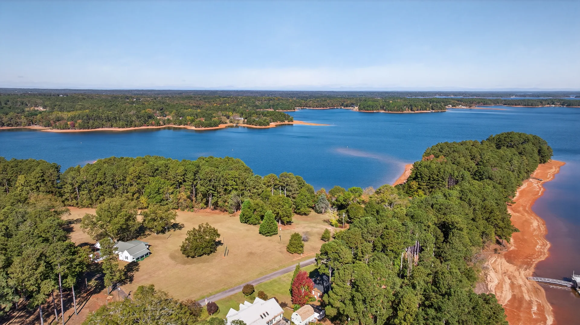
If the paved road represented convenience, the dock represented possibility. When Lake Hartwell filled in the early 1960s, the land at 257 Methodist Park Lane gained a frontage it had never had before: direct access to 56,000 acres of navigable water. The river that had been a useful but limited transportation corridor became a lake that opened into an entire region.
A boat dock at 257 Methodist Park Lane today is not a luxury accessory — it is a second front door. From the dock, you can reach Elrod Ferry Landing, Methodist Park, the main channel of Lake Hartwell, and from there any cove, marina, or community gathering point on the lake. The 2026 Mercury B.A.S.S. Nation Championship, scheduled for November 18-21 on Lake Hartwell, is reachable by boat from this dock. The annual Pre-4th Fireworks Extravaganza is visible from this shoreline. The weekend raft-ups, the sunset cruises, the impromptu gatherings of friends pulling up in pontoons — all of it begins at the water's edge.
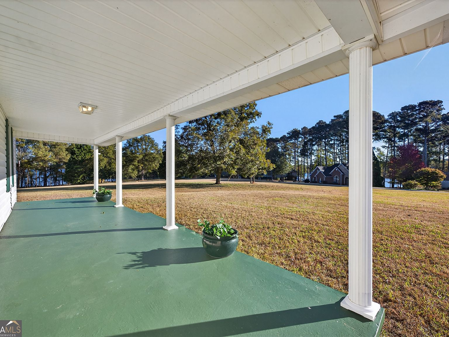
In the 1870s, the family looked out toward the river and saw a working landscape — ferry crossings, fishing holes, and the boundary of their known world. Today, the same orientation looks out toward a lake that connects the property to a community of 9 million annual visitors, a world-class fishery, and a lifestyle that the first generation could not have imagined. The porch faces the same direction. The land is the same land. But the access has changed entirely.
The connection between then and now
As real estate advisors who have helped families relocate across state lines, across regions, and across the world, we understand that access is not just about roads and docks. It is about how a property connects you to the life you want to live.
The first family chose this land in 1873 because it was accessible to Hartwell by the standards of their time — a half-day wagon ride, a river crossing, and a network of dirt roads that were navigable when the weather cooperated. They chose it for the flat ground, the water access, and the potential to build a life that was connected to the larger community without being consumed by it.
Today, 257 Methodist Park Lane offers the same balance, updated for a different century. A ten-minute drive to downtown Hartwell's restaurants, shops, and community events. A boat launch to a lake that hosts national fishing tournaments and weekend gatherings. A paved road that works in any weather. A dock that opens into 56,000 acres of water. The property has never been more connected than it is right now. And yet the four and a half acres of flat, private land, shaded by pecan trees planted in the 1870s, remain exactly as private and spacious as they were the day the first family arrived.
That is the rare combination that makes this property irreplaceable: the access of the present with the privacy of the past. You can drive to town in ten minutes and boat to the tournament weigh-in in fifteen. And when you come home, the porch is waiting, the pecan trees are shading the lawn, and the land that has been held since 1873 offers the quiet that no paved road and no boat dock can disturb.