
Heritage
From river valley to reservoir: the Savannah River before Lake Hartwell
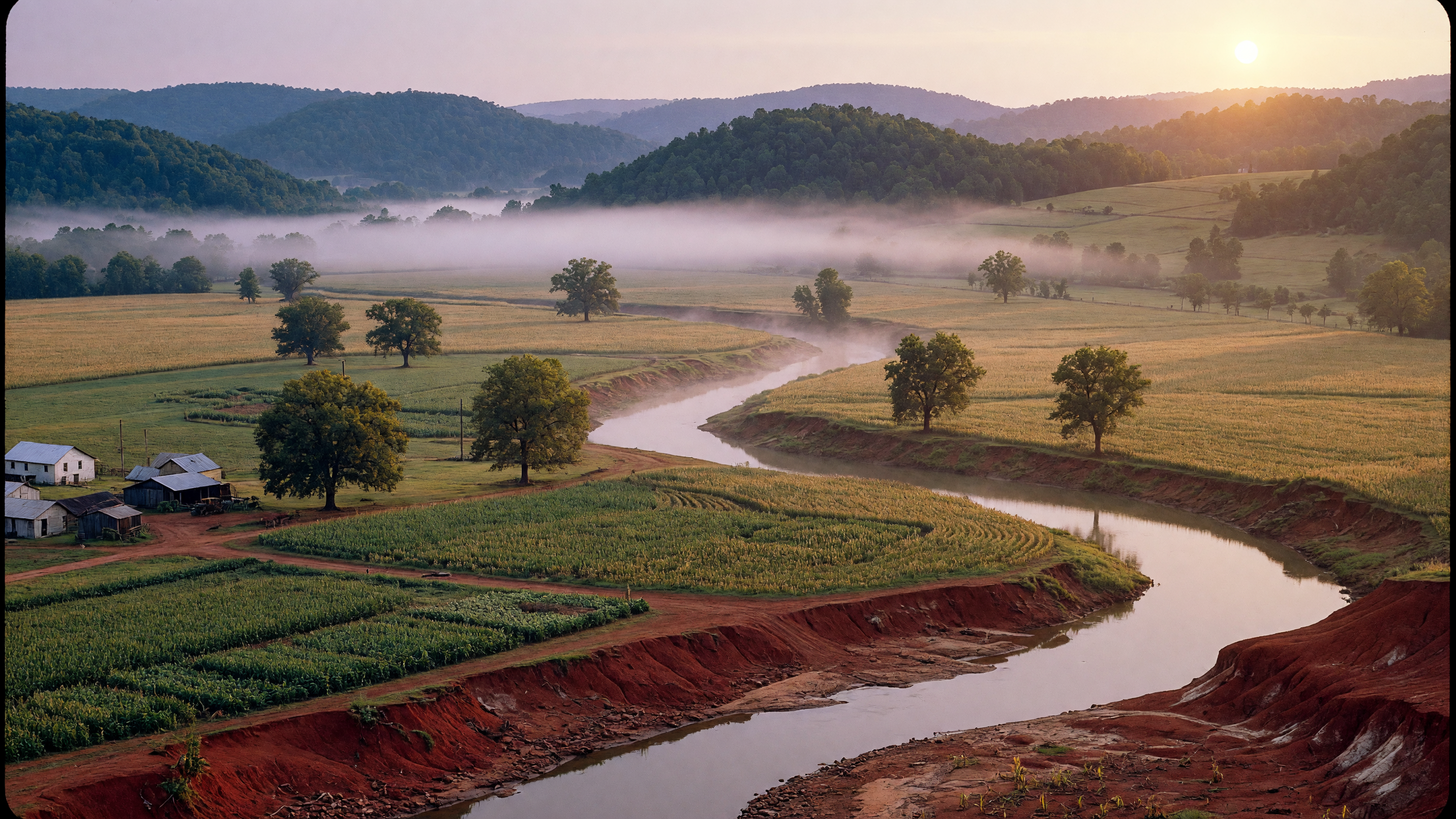
The Savannah River is older than most people realize. It has shaped this landscape for millions of years, carving the valleys where Cherokee towns once stood and where farming families later built their lives. 257 Methodist Park Lane sits on ground that was already ancient when the first Europeans arrived — land that has witnessed every chapter of Georgia's story, from frontier to reservoir.
The river that made the valley
The Savannah River forms at the confluence of the Tugaloo and Seneca Rivers near present-day Lake Hartwell, flowing 306 miles southeast to the Atlantic at Savannah, Georgia. For centuries, it was the lifeblood of the region: the border between Georgia and South Carolina, the migration corridor for striped bass and shad, and the water supply for every farm and community along its banks.
Before the dam, the river valley near Hartwell was a working landscape. Families grew cotton, corn, and vegetables on the rich bottomland. Pecan trees — the kind now shading the lawn at 257 Methodist Park Lane — were planted for food, shade, and timber. Livestock grazed the flats. The rhythms of life followed the river: spring planting followed the floodplain's schedule, summer heat drove work to early mornings and late evenings, and autumn harvests filled the root cellars.
The families who lived here knew the river intimately — its bends, its moods, where the catfish held in summer and where the deer crossed in winter. That knowledge was generational, passed from parent to child the way property titles were. 257 Methodist Park Lane's family had been doing exactly that since the 1800s.
The Flood Control Act of 1950
After decades of devastating downstream flooding — particularly in Augusta, Georgia — Congress authorized the Hartwell Dam project as part of the Flood Control Act of May 17, 1950. The U.S. Army Corps of Engineers was tasked with creating one of the largest flood-control and hydropower projects on the Savannah River, damming it near the confluence of the Tugaloo and Seneca to create a reservoir stretching far into the Georgia and South Carolina foothills.
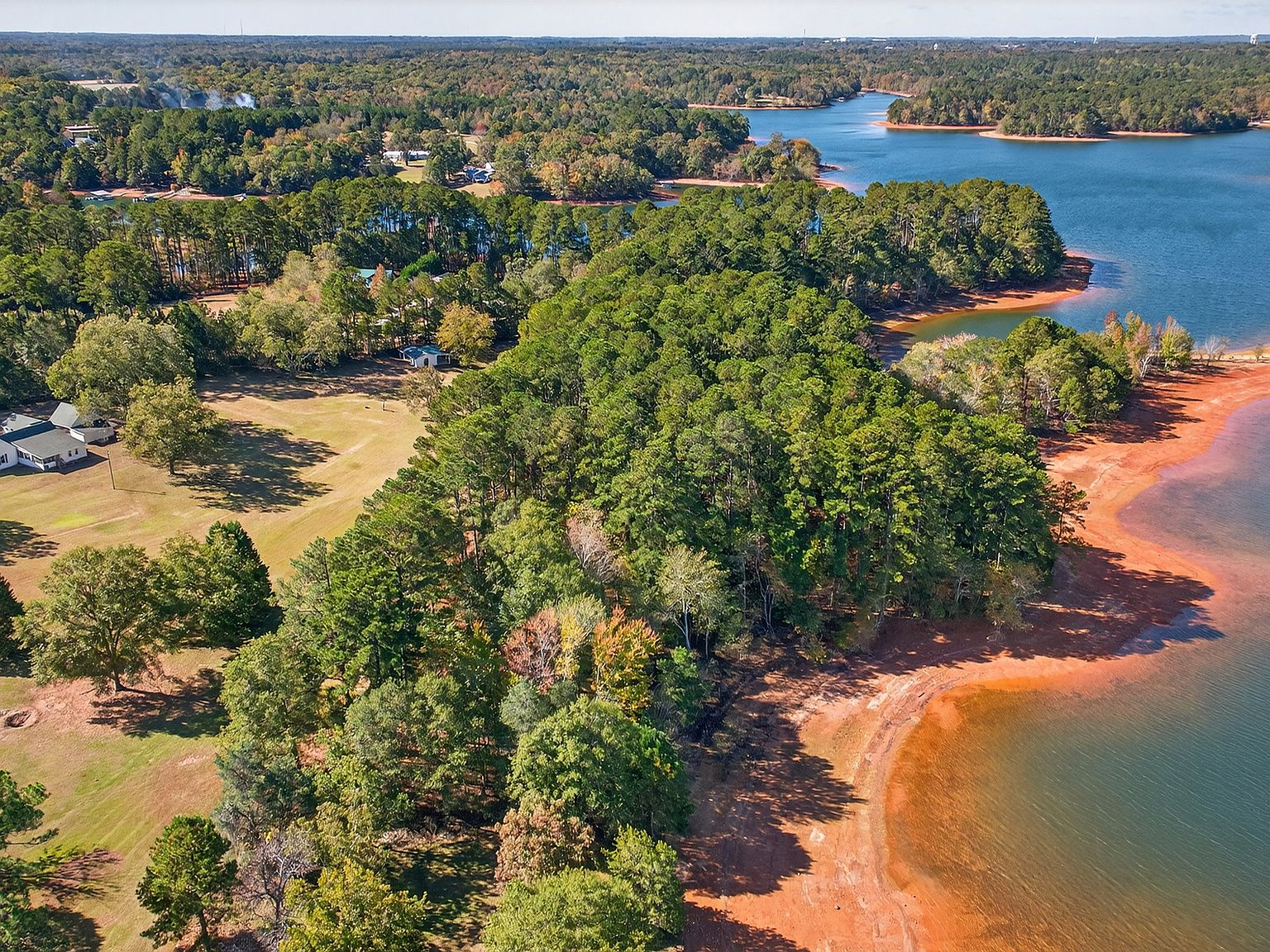
Construction began in 1955. Over the next seven years, the Corps acquired land through eminent domain, relocated families, moved roads and bridges, and in some cases moved entire family cemeteries to higher ground. When the dam was completed in 1962 and the lake began to fill, it covered 56,000 acres and created nearly 1,000 miles of new shoreline. Towns, farms, churches, and schoolhouses disappeared beneath the water.
The project transformed the region's economy and identity. Hartwell, founded in 1854 and named after Revolutionary War heroine Nancy Hart — the only county in Georgia named after a woman — changed from an agricultural county seat to a lakefront destination. The lake brought tourism, boating, fishing tournaments, and an entirely new way of life that nobody in 1950 had anticipated at that scale.
Why 257 Methodist Park Lane survived
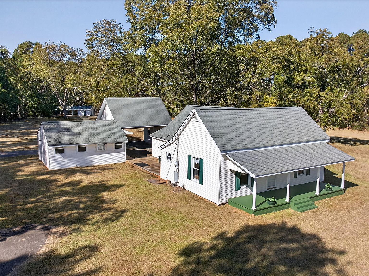
Not every property in the Savannah River valley lost out to the rising water. 257 Methodist Park Lane sits on 4.546 acres of flat, elevated land — ground high enough to stay above the Corps of Engineers' full-pool line. The 1873 farmhouse was built on a rise that the family had chosen for practical reasons: good drainage, level building ground, and proximity to water without being subject to the river's flooding.
Those same choices, made a century before anyone imagined a dam, protected the property from acquisition. The pecan grove, planted for subsistence rather than beauty, was spared. The covered porch, designed for cross-breezes before air conditioning, remained. The family held the land through the surveying, the land acquisition process, the displacement of neighbors, and the slow rise of the water year by year between 1955 and 1963.
When the lake arrived, it didn't destroy the property — it transformed it. A farm homestead on a river became a lakefront estate on a reservoir. The view from the porch changed from a winding river valley to the shimmering expanse of Lake Hartwell. But the bones — the foundation, the proportions, the orientation to sunlight and breeze — those belonged to the 1870s.
What the transformation left behind
Today, Lake Hartwell draws approximately 9 million visitors per year. The fishing — largemouth bass, spotted bass, striped bass, crappie, and catfish — has made it one of the Southeast's most celebrated tournament lakes, hosting four Bassmaster Classics with a fifth scheduled for 2027. The marinas, the lakeside restaurants, the pontoon boats at sunset — these are the products of a transformation that nobody in 1950 could have predicted.
But beneath that modern lake lifestyle, the old river valley persists in ways that are easy to overlook. The red clay banks visible along the shoreline are the original valley floor exposed by water-level changes. The submerged roads, bridge pilings, and house foundations that divers occasionally discover are the physical evidence of the communities that were here. And the properties that sit above the waterline — like 257 Methodist Park Lane — are the living links between the river era and the lake era.
When you stand on this property's covered porch and look toward the water, you're looking at a landscape that has been continuously inhabited since before the Civil War. The river that once ran through the valley now rests 40 feet below the surface of the lake. But the land — flat, fertile, shaded by pecan trees planted by people who named every hill and hollow — the land remembers.
A landscape of layers
We spend our careers helping families find properties in places with stories. On Lake Norman, the stories are decades old. In Charlotte, they're measured in development cycles. At 257 Methodist Park Lane, the story is measured in geological time — a river valley shaped over millennia, inhabited by Cherokee communities for a thousand years, settled by farming families after the Civil War, and transformed by a federal infrastructure project into one of the Southeast's most beautiful lakes.
The property carries all of those layers. The pecan grove remembers the river. The 1873 farmhouse remembers the farm. The lakeside pavilion remembers the moment the water arrived and the family adapted, building new rooms for a new kind of life. And the next owner will add their own layer — whether it's a renovation, an event, a family tradition — to a narrative that has been accumulating since long before any of us were born.