
Generations
Living through transformation: what the family at Methodist Park Lane witnessed when the river became a lake
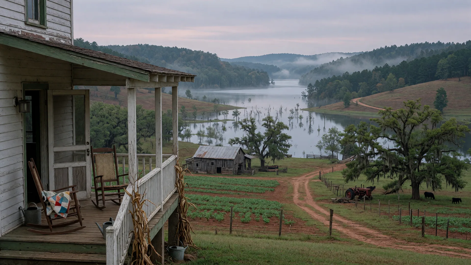
Try to imagine the morning in the spring of 1955 when the first surveyors appeared on the road. The family at 257 Methodist Park Lane had been living on this land for over eighty years by then. The house had stood since 1873. The pecan trees were mature enough to cast the deep shade that defined the property. The flat ground had been plowed, planted, and harvested through Reconstruction, two world wars, the Great Depression, and the slow modernization of rural Georgia. And now men in government vehicles were walking the riverbank with transits and measuring tapes, marking elevations, talking in low voices about a dam.
The slow arrival of change
The Flood Control Act of 1950 had authorized the Hartwell Dam project, but for the families living along the Savannah River, the reality of the project did not arrive until the mid-1950s. The Corps of Engineers began construction in 1955, building a massive earthen dam across the Savannah River at a site roughly six miles downstream from the confluence of the Seneca and Tugaloo Rivers. The scale of the project was staggering for a rural community: 190 feet tall, 16,000 feet long, costing nearly $90 million in mid-century dollars. It was designed to control flooding in Augusta, generate hydropower, and create one of the largest man-made reservoirs in the Southeast.
For the family at Methodist Park Lane, the first sign that life was about to change was probably not the surveyors, but the trucks. The two-lane roads of Hart County were suddenly crowded with heavy equipment moving toward the dam site. Construction crews arrived from across the region. A workforce of hundreds, peaking at over two thousand, descended on a stretch of river that had been quiet for millennia. The sound of blasting echoed through the river valley. The character of daily life in Hartwell was altered before a single acre of farmland had been flooded.
The family would have watched the dam rise from a distance. Drive past the construction site on the way to town. Heard the rumors and the official notices about which land would be taken and which would survive. They would have seen their neighbors — families they had known for generations — packing up and moving away, their farms condemned, their homes scheduled for demolition. The displacement of nearly 2,000 families did not happen in a day. It unfolded over years, a slow evacuation of the river valley that left empty houses and fallow fields in its wake.
The rising water
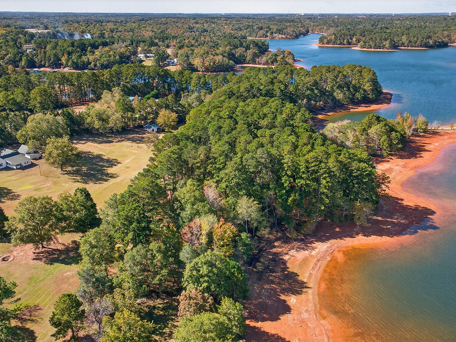
In February 1961, the Corps closed the dam's gates and Lake Hartwell began to fill. The process was not instantaneous. It took roughly two years for the reservoir to reach its full-pool elevation of 660 feet above mean sea level. The family at 257 Methodist Park Lane watched the water rise incrementally, week by week, month by month. The Savannah River, which had been a boundary of their property for as long as anyone could remember, began to widen. The bottomland on the far side of the river disappeared first, then the lower banks. The river that had been perhaps two hundred feet across became a quarter-mile, then a half-mile, then a mile-wide expanse of still, brown water covering the fields and forests where the family had hunted, fished, and walked for generations.
The transformation must have been disorienting. The landscape the family had known since childhood — the bends of the river, the sandbars, the sycamores that grew along the bank, the neighbor's barn visible through the trees on the far side — all of it was gone. The water was not a flood in the traditional sense, not a temporary overflow that would recede. It was a permanent change. The land the family had farmed, the fields they had plowed, the river they had fished — all of it was being replaced by something that had never existed before, something that was not land at all.
And yet the family stayed. The house sat at 730 feet above sea level — seventy feet above the full-pool line. The flat ground that had made the property a good farm was high enough to keep it out of the reservoir. The pecan trees, planted decades before the engineering studies that determined the dam's location, stood on ground that would never be submerged. The family had chosen this spot in the 1870s for reasons that had nothing to do with a lake — good drainage, stable elevation, access to the river without being in the floodplain — and those same qualities now made it one of the few properties on Lake Hartwell's Georgia shoreline that predated the lake itself.
What the water did not wash away
The Corps of Engineers took the land it needed for the reservoir, but it also took a buffer zone around the lake to manage shoreline access and public recreation. That buffer — the Corps-managed shoreline that defines Lake Hartwell today — is what gives the lake its character. The banks are not lined with private docks and manicured lawns. They are wooded, natural, and protected. Development is strictly controlled. The result is a lake that feels wilder and more preserved than most reservoirs of comparable size.
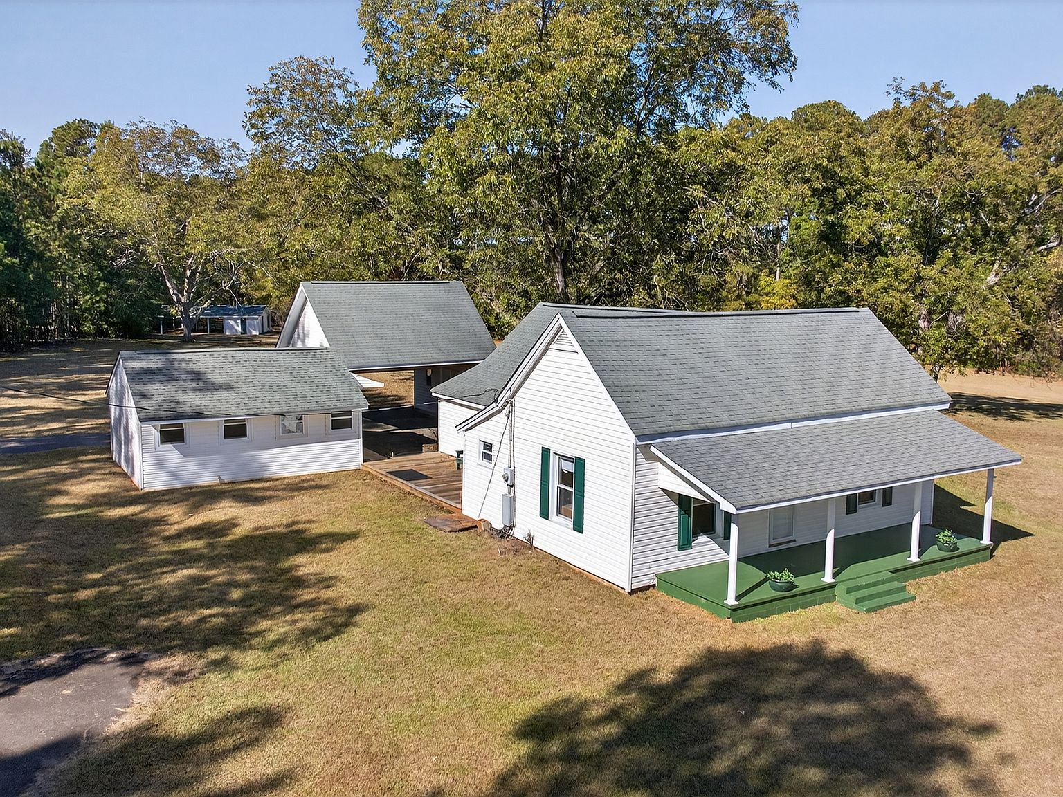
257 Methodist Park Lane sits within that Corps-managed shoreline, but the property itself was never condemned. The family held the deed. The home, the pecan trees, the flat ground — all of it remained in private hands. The property is one of the last remaining large-acreage parcels on Lake Hartwell's Georgia Corps of Engineers shoreline, and it exists because the family that built the home in 1873 chose the high ground.
What the water did not wash away was the family's relationship with the land. The port from the porch still faced the same direction. The breezes still came off the water, though the water was now broader and deeper. The pecan trees still produced their harvest in the fall. The flat lawn still held the morning dew. The land was the same land. The water had changed, but the ground had not.
The adaptation
The family adapted. They added a lakeside pavilion — two full bathrooms, ceiling fans, a space designed for the kind of lakefront entertaining that the new landscape made possible. They maintained the covered porch, the screened back porch, the outbuildings that had served the working farm. They kept the pecan trees healthy. They used the flat ground for gatherings, for family reunions, for the events that had always defined life on this property, now with the lake as a backdrop instead of the river.
The adaptation was not just physical. It was psychological. The family had to accept that the world they had known — the river valley with its farms, its neighbors, its predictable rhythms — was gone. In its place was something new and unfamiliar. The lake was beautiful, but it was not what they had chosen. It was what had been given to them. The act of staying, of continuing to maintain the property through the transformation, was as much an act of faith as it was a practical decision. It was the same impulse that had driven the first generation to plant pecan trees in the 1870s: a belief that the land would outlast the changes, and that the people who held it would find a way to adapt.
What the transformation teaches us
We have spent our careers helping families navigate major transitions. Between the two of us, we have completed 16 relocations. We know what it means to watch a familiar landscape disappear and to build a new relationship with a place that is fundamentally different from the one you left. The family at 257 Methodist Park Lane experienced a version of that on a scale most of us will never face. They watched their river become a lake. They watched their neighbors leave. They watched the federal government reshape their valley according to engineering calculations. And they stayed.
The property today is the product of that decision. The 4.546 acres of private shoreline, the 153-year-old farmhouse, the pecan grove, the pavilion, the porch — all of it exists because a family chose to hold on through a decade of transformation. The lake did not defeat them. It did not displace them. It changed their view, but it did not change their ground. And now, for the first time in generations, this property is available to someone new. The question is not whether the land is worth it. The question is whether you are ready to be the next person to live through transformation — and to pass the land along stronger than you found it.