
Heritage
Methodist Park Lane: the church, the high ground, and the name that outlived the river
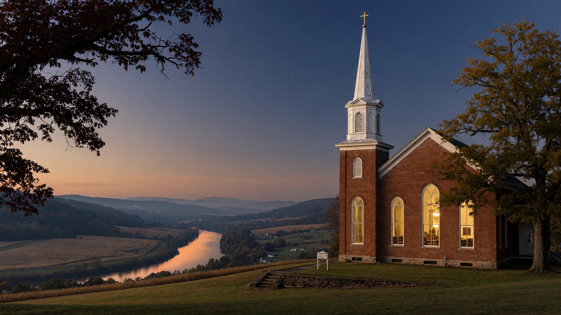
Road signs keep the oldest records in a lake town. The green sign at the turn onto Methodist Park Lane says nothing about the flood of 1961 or the brick sanctuary raised in 1897, but the name itself is a piece of history you can drive past every day: a road named for the Methodist church community that chose this high ground above the Savannah River years before the farmhouse at 257 went up, and decades before the valley below it became Lake Hartwell.
A town that set aside ground for its churches
Hartwell was laid out on May 12, 1854, when one hundred acres were purchased to become the seat of Hart County, with lots set aside for churches from the beginning. In that same year the Methodists organized the Hartwell Methodist Episcopal Church, South, on the Hartwell Circuit, and the congregation took the high ground where the lane runs today: close to the new courthouse square, above the river bottomland that turned to water whenever the Savannah rose.
The choice of ground mattered. Families who lived high stayed dry when the valley flooded, and a church on the rise was a church that never had to move. That is the quiet logic written into the address itself, and it is the same logic that placed 257 Methodist Park Lane where it sits today.
From courthouse benches to a brick sanctuary
The first Methodist services in Hartwell were held in the temporary courthouse, then in the first brick courthouse, and then in a frame church built by a local contractor. In 1897 the congregation raised the present sanctuary, designed by Atlanta architect Willis F. Denny, with interior woodwork by Didschueneit and Tiffany glass windows supplied by the W. R. Orr Company of Atlanta. The 1952 education building came later, and the sanctuary remains on the National Register of Historic Places, still in service on Methodist Park Lane at 400.
A brick church on a rise, with careful windows and measured woodwork, is a statement of permanence. Its builders did not know the valley below would become a lake, but they built as people who intended to stay, which turned out to be exactly the right decision.
A farmhouse that predates the sanctuary
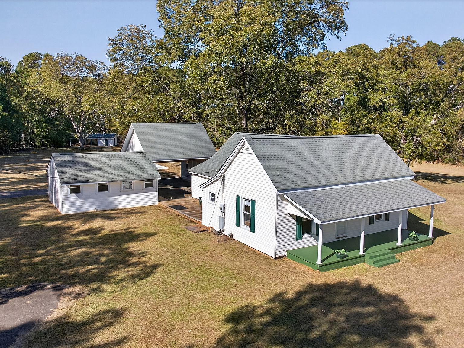
The dates along Methodist Park Lane tell the story in three steps: the church community founded in 1854, the farmhouse at 257 raised in 1873, and the brick sanctuary built in 1897. Twenty-four years separate the farmhouse from the sanctuary, and both structures show the same instinct at work, the choice of flat, high, well-drained land above the river that could be farmed, built upon, and kept in the family.
For the family at 257, that meant a working homestead with pecan saplings, a well, and a porch facing the valley. For the church, it meant a sanctuary that would never need to be rescued from the water. On a lane where both decisions were made within a generation or two of each other, the high ground was not an accident. It was the point.
When the valley became a lake
Between February 1961 and March 1962, the water climbing behind Hartwell Dam reached full pool at 660 feet and the river valley below the lane disappeared under Lake Hartwell. Nearly two thousand families moved off the bottomland as the reservoir rose, their fields, homes, and roads going under 56,000 acres of new water. The church on the rise stayed. The lane kept its name. And a name given before any lake existed, Methodist Park, came to mean something the water could not touch.
It is worth pausing on that. The flood that erased an entire river valley could not erase a road sign, because the road sign stood for a community that had been on its high ground for more than a century before the dam was even proposed. The water took the bottomland and left the names, and among those names was the one on this lane.
The lane today
Today the same road runs from the church campus past four and a half flat acres of the estate and down to the water, where the Corps of Engineers is holding the lake at a careful level while it designs the fix for the Clemson Lower Diversion Dam Saddle Dike. The town gathers, on video links and on porches, to talk about its water, the way it has since before the dam. The green sign has not changed, and neither has the reason it exists.
The name on the lane records a choice made on purpose: high ground, above the river, kept by the same families and the same congregation across the generations. That a road can still say all of that is rare. That the estate beside it was chosen by the same logic in 1873 is rarer still.