
Generations
What the waterline reveals: how six generations of living with water shaped the land at Methodist Park Lane
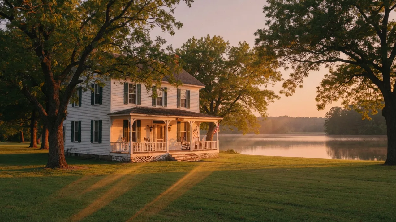
Walk across the lawn at 257 Methodist Park Lane and you will eventually reach a place where the ground slopes toward the water. Stand there and the relationship that has defined this property for 153 years announces itself not in words, but in the angle of the land and the sound of lapping water. What you are standing on is the line between the farm and the flood, between the known and the unpredictable, between dry land and the force that shaped every generation that has crossed this ground.
The well: the first relationship
In 1873, when the first generation built the home at Methodist Park Lane, there was no tap, no municipal water supply, and certainly no lake. The first water relationship was with a hand-dug well, sunk somewhere on the property by people who understood that a homestead without reliable access to water was not a homestead at all. That well served every generation from the 1870s through the 1950s, its depth and yield known by heart to whoever was tasked with drawing water each morning.
The well taught the first generation something important about this land: the water table here was reliable. The property's position on a natural rise above the Savannah River valley meant the ground held water without flooding out. That subtle geologic fact — high enough to stay dry, low enough to reach water — was the same reason the home itself survived the creation of the lake a century later.
The river: the boundary that became a vista
Before the dam, the Savannah River ran through the valley below the property. The family at Methodist Park Lane lived above the river, not on it. Their relationship with the water was practical — fishing in season, watering livestock, perhaps a swimming hole in the summer heat — but it was also cautious. The Savannah River flooded. Any family who had lived on its banks long enough had stories of the water rising, of crops lost and fences rebuilt.
The river was a boundary that could not be ignored. It shaped where the family planted, where the livestock grazed, where the children were warned not to play when the spring rains came. It was a presence, not an amenity. And yet the family chose to stay within sight and sound of it, generation after generation, because the same river that could flood also carried the fertility that made the bottomland the best growing soil in Hart County.
The lake: the arrival of a new relationship
When the U.S. Army Corps of Engineers completed Hartwell Dam in 1962, the waterline changed forever. The Savannah River, which had run through the valley at some distance below the homestead, rose to meet the property. For the first time in ninety years, the family at Methodist Park Lane lived directly on the water rather than above it.
That shift was not just physical. It rewired how the family related to the land. The well, which had served six decades of daily life, was replaced by municipal water. The river, which had been a boundary to respect, became a lake to enjoy. The property transformed from a working farm with a river at its edge into a waterfront estate with a 56,000-acre reservoir as its front yard. For the generation that lived through it, the change must have been disorienting — the same ground, the same pecan trees, the same porch, and an entirely new relationship with the single element that had always defined this land.
The Corps shoreline: living with a lake that breathes
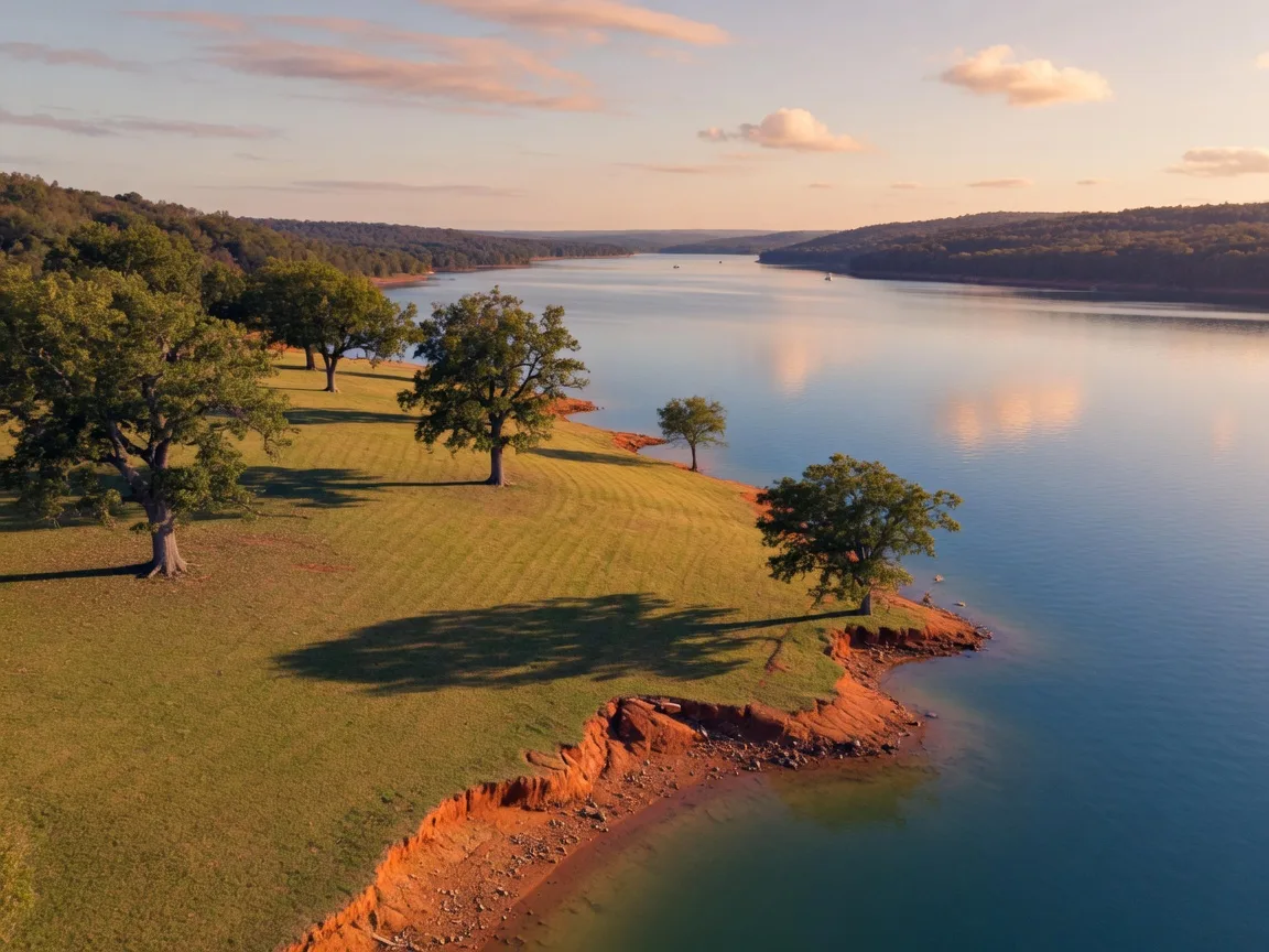
Today, 257 Methodist Park Lane sits on the Corps of Engineers shoreline, which means the waterline is never static. Lake Hartwell's level fluctuates by several feet seasonally — drawn down in winter for flood control, raised in spring for recreation, subject to the whims of drought and heavy rain alike. In summer 2026, the lake has been running six to seven feet below full pool, a persistent drought that has exposed red clay banks and changed the shape of the shoreline.
To someone unfamiliar with Corps-managed lakes, the changing waterline might feel like an impermanence. To a family who has watched this land relate to water in its every form — as a well to draw from, a river to respect, a reservoir to enjoy — the fluctuating lake level is simply another chapter in the same long story. The water rises, the water falls, and the land holds.
The low water of 2026 has revealed something that the higher water conceals: the true slope of the land, the bones of the shoreline, the places where the old river valley still asserts itself beneath the lake surface. From the pavilion at Methodist Park Lane, you can see the exposed bank and imagine the river that once ran there. The property's 4.546 acres of flat, private land sit high enough that the drought does not threaten the lawn or the foundation. The pecan trees, planted by a generation that knew the river valley intimately, have seen lower water than this and survived.
What the waterline teaches
Across six generations, the waterline at Methodist Park Lane has moved from a well's depth to a river's banks to a reservoir's boundaries. Each movement changed how the family lived on this land — what they drew, what they feared, what they celebrated. But the waterline never changed the fact of the land itself. The house built in 1873 is still standing. The pecan trees still produce. The flat lawn still holds the afternoon light.
For the next owner of 257 Methodist Park Lane, the waterline will continue to move. Droughts will come and go. The Corps will manage the lake level. Summer storms will raise the water, and winter drawdowns will lower it. But the fundamental relationship — land that has always lived with water, in every form — is already established. The new owner will not need to learn what the water means to this property. The property itself will teach them.
The waterline at Methodist Park Lane has never been static. But the land above it has always held. That is the lesson written into every generation, from the first well-diggers to the family who watches the lake from the screened porch today.